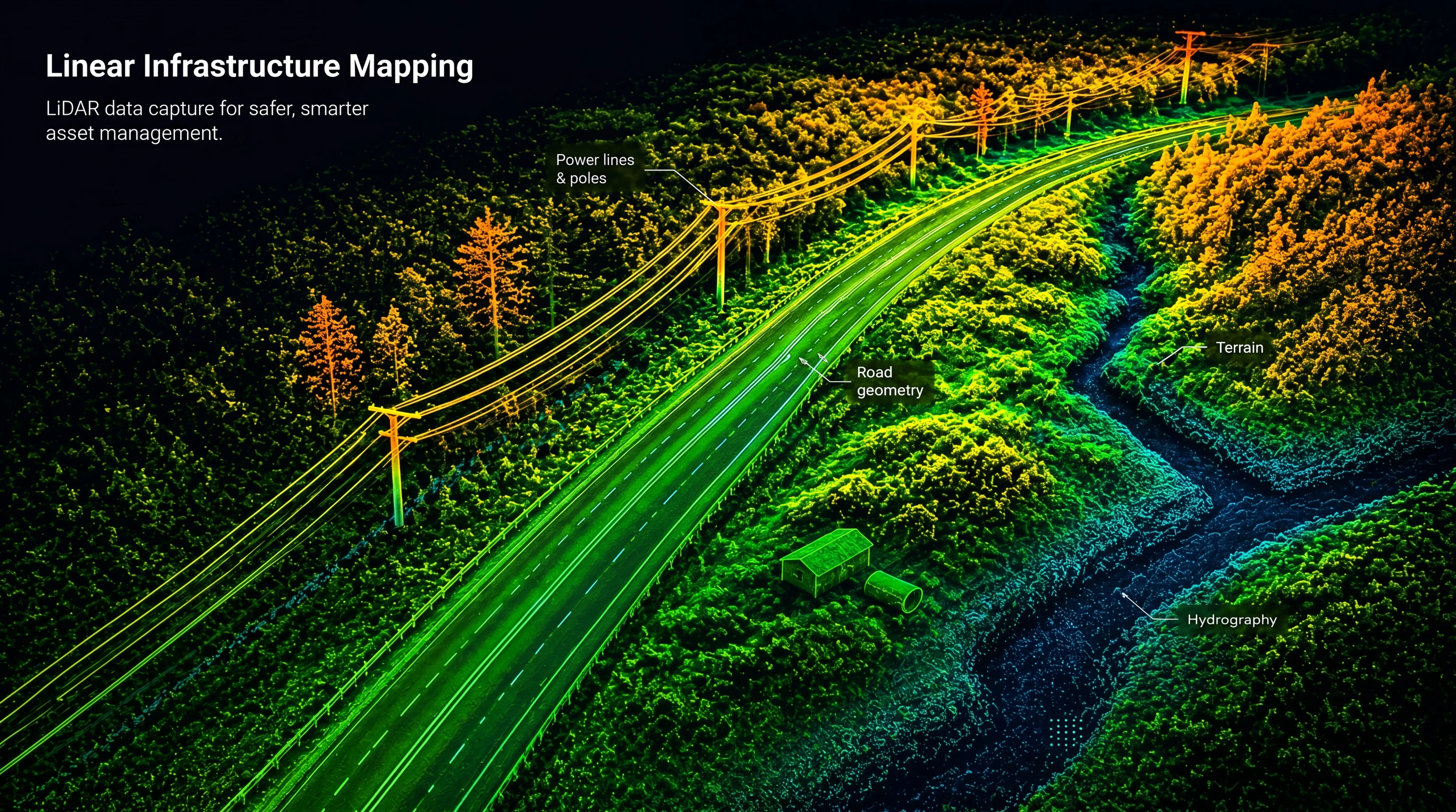
Services

Topographical LiDAR

Topographical LiDAR with Drones

High-precision terrain data — even in dense vegetation

Topographical LiDAR from drones enables fast and highly accurate terrain mapping using advanced laser scanning technology. Unlike photogrammetry, LiDAR penetrates vegetation and captures the true ground surface, making it ideal for generating reliable terrain models in forested and complex environments.

FROST delivers drone-based LiDAR surveys tailored to project requirements, supporting planning, engineering, infrastructure development, and environmental analysis.

Why Topographical LiDAR?
Drone-mounted LiDAR systems emit laser pulses and measure their return to generate dense and accurate 3D point clouds of terrain and surface features.
A key advantage is the ability to capture multiple returns from a single laser pulse, allowing separation of:
  • Ground surface
  • Vegetation layers
  • Buildings and infrastructure

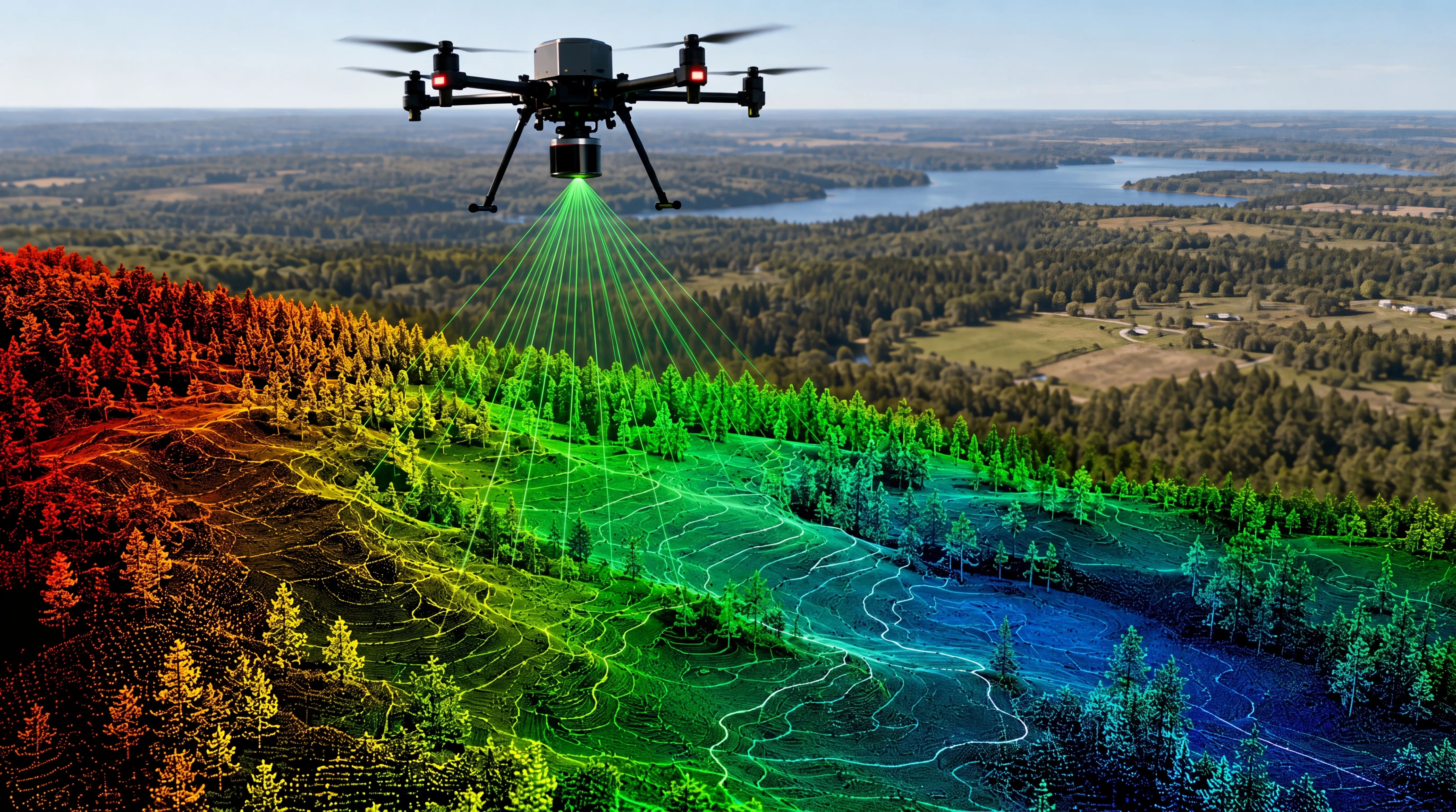
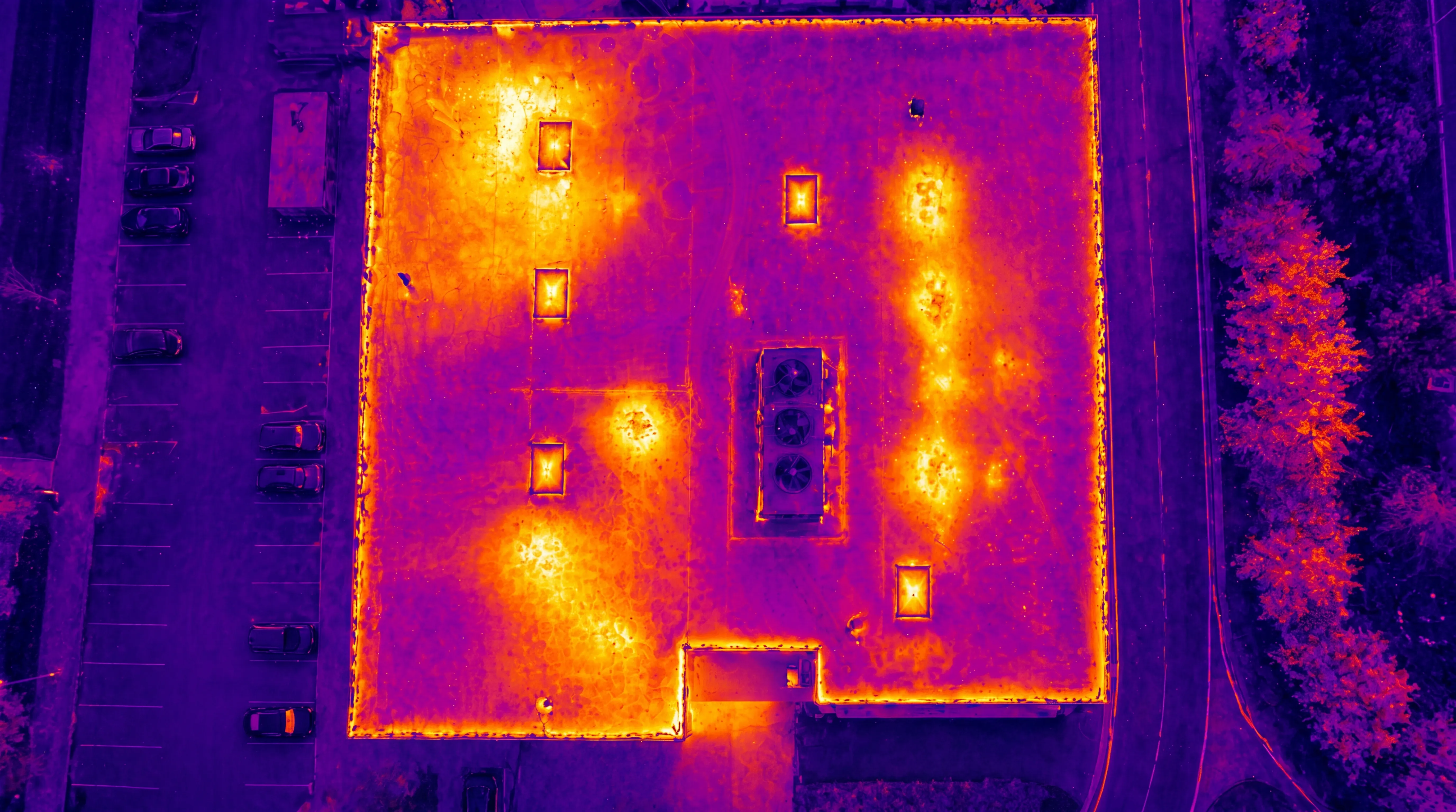
This makes LiDAR the preferred solution in environments where optical mapping methods are limited.

Applications
Typical applications include:
  • Digital Terrain Models (DTM) and contour generation
  • Infrastructure and road planning
  • Flood risk and hydrological analysis
  • Forestry and vegetation mapping
  • Corridor mapping for roads, railways, and powerlines
  • Volume calculations and earthworks
  • Base datasets for GIS, CAD, and BIM workflows
Data quality
FROST operates professional LiDAR systems integrated with high-precision GNSS and IMU positioning.
Each mission is adapted to:
  • Terrain complexity
  • Vegetation density
  • Required accuracy level
Data accuracy
FROST operates professional LiDAR systems integrated with high-precision GNSS and IMU positioning.
This ensures:
  • High point density and consistent coverage
  • Accurate horizontal and vertical positioning
  • Reliable ground classification, even in dense vegetation

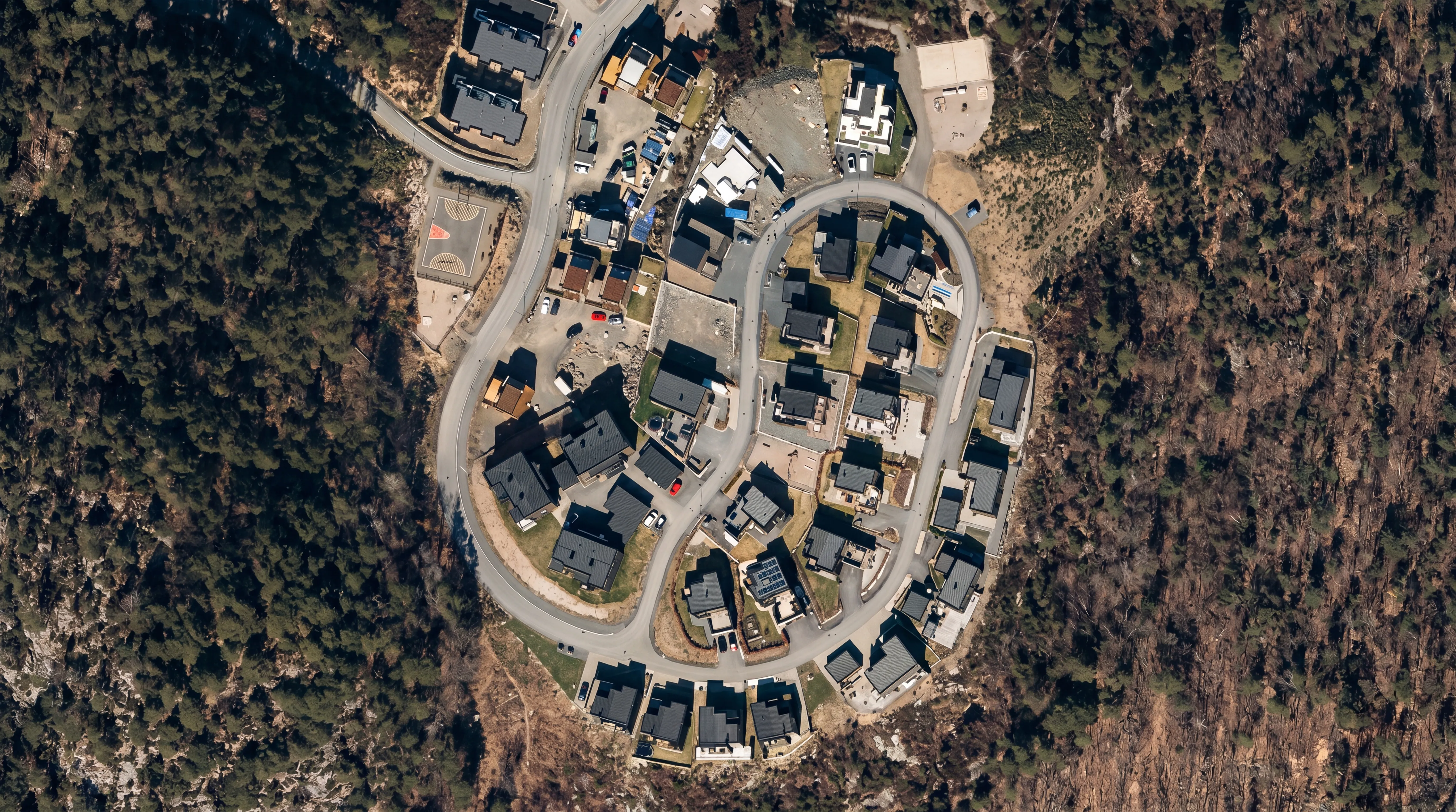
LiDAR datasets can also be combined with RGB imagery and orthophotos for enhanced visualization and analysis.

Deliverables
We provide industry-standard datasets ready for direct integration into professional workflows, including:
  • Classified and unclassified point clouds (LAS / LAZ)
  • Digital Terrain Models (DTM)
  • Digital Surface Models (DSM)
  • Contours and elevation datasets
  • GIS- and CAD-ready files
  • Optional integration with orthophotos and 3D models
Topographical LiDAR
Bathymetric LiDAR
Powerline inspection

Geospatial solutions powered by software, sensors, and AI technologies

Join us and help capture and transform accurate geospatial data into valuable insights and digital twins.

Join us
Topographical LiDAR with Drones

Topographical LiDAR

High-precision terrain data — even in dense vegetation

Topographical LiDAR from drones enables fast and highly accurate terrain mapping using advanced laser scanning technology. Unlike photogrammetry, LiDAR penetrates vegetation and captures the true ground surface, making it ideal for generating reliable terrain models in forested and complex environments.

FROST delivers drone-based LiDAR surveys tailored to project requirements, supporting planning, engineering, infrastructure development, and environmental analysis.