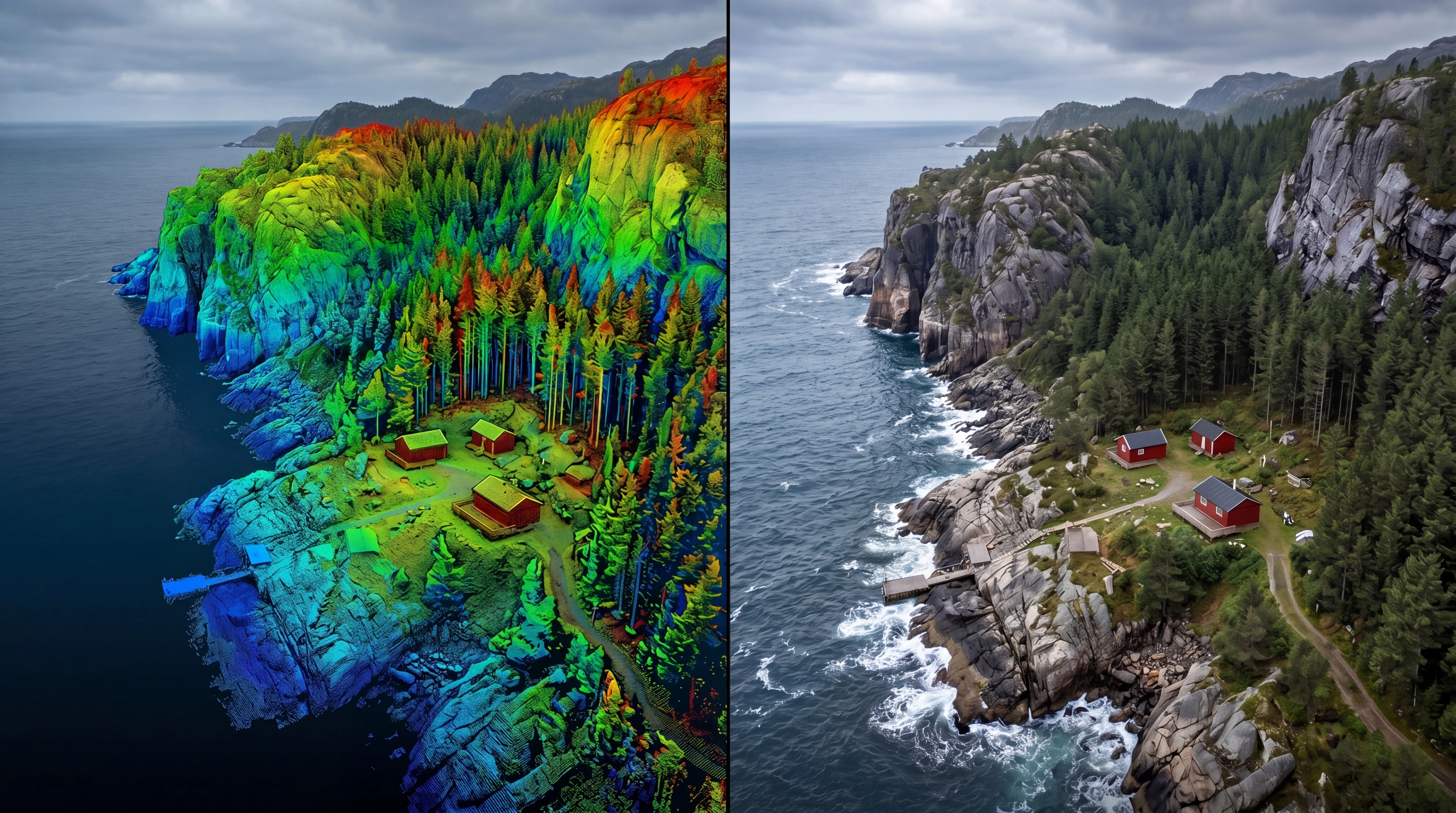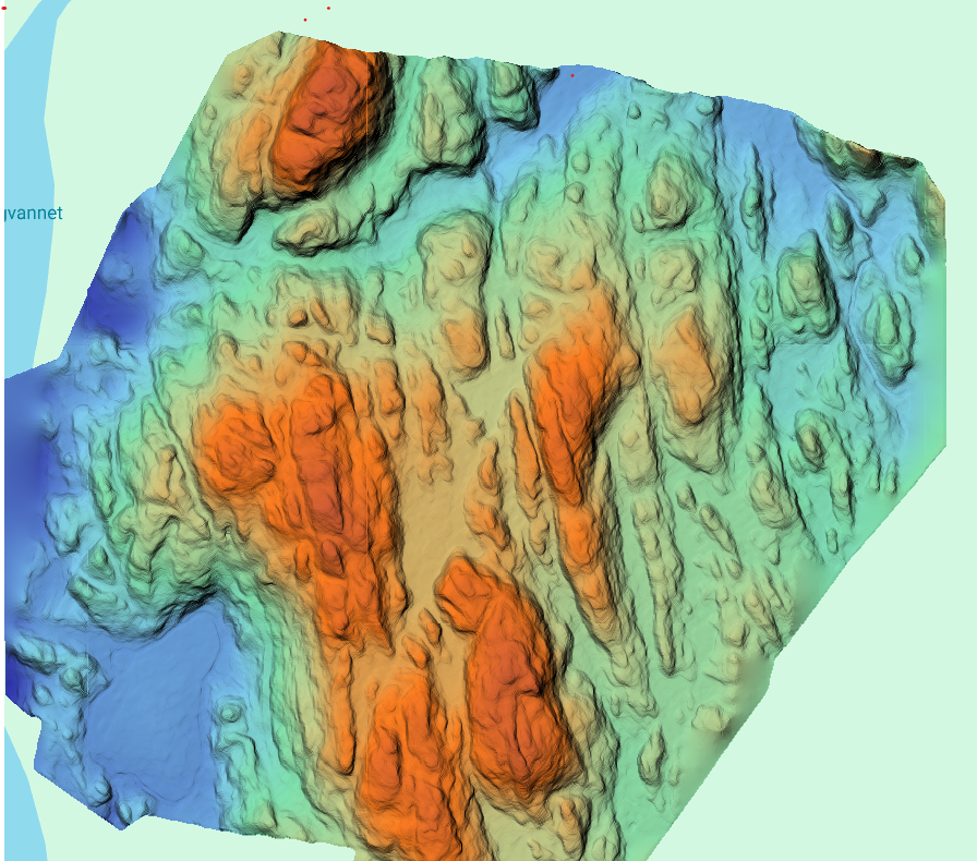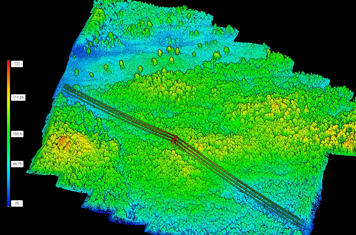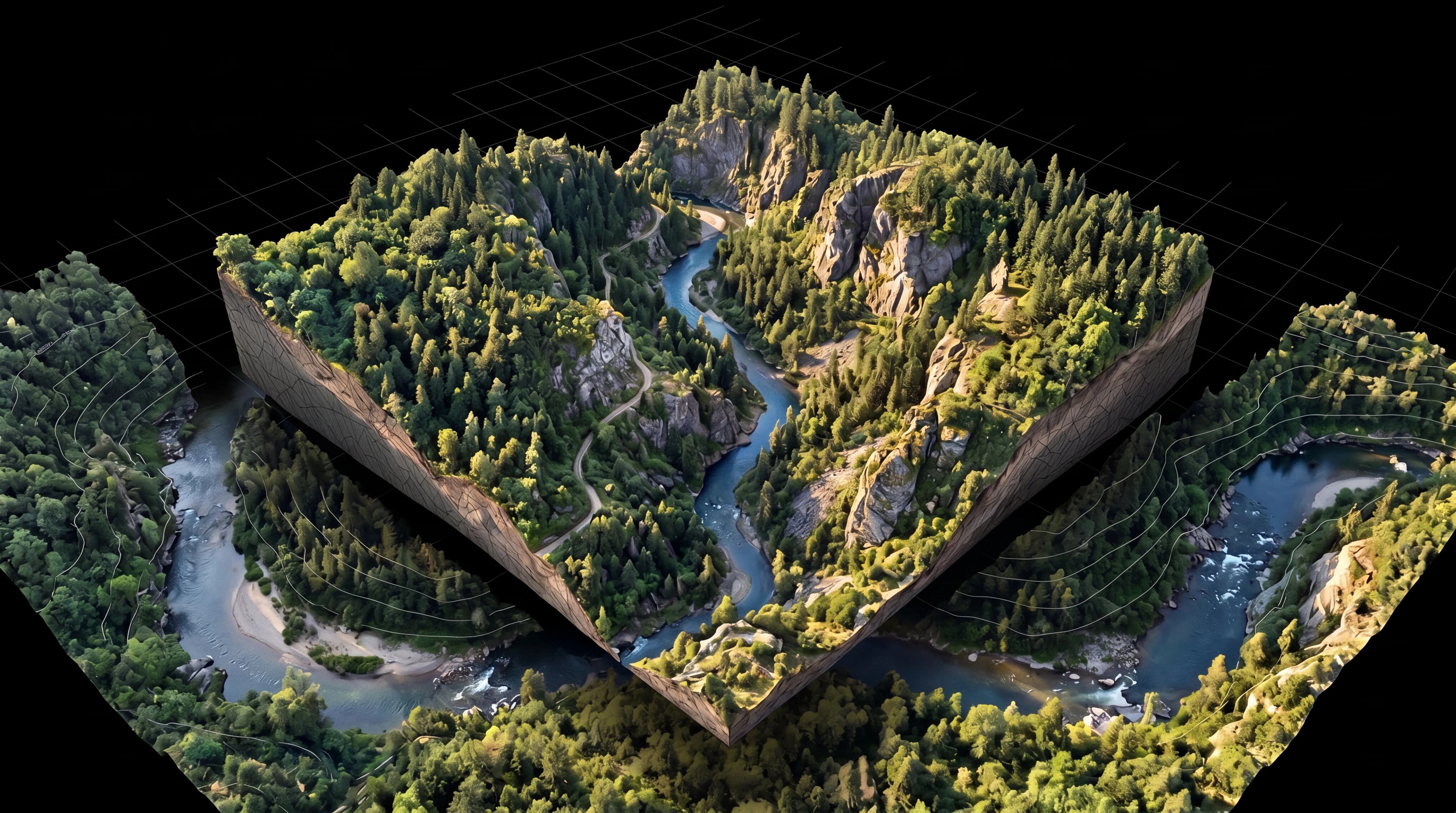
FROST transforms captured data into accurate and usable digital models.
By combining LiDAR, photogrammetry, and geospatial workflows, we deliver structured datasets ready for analysis, engineering, and visualization.
Our workflows ensure consistent, high-quality outputs optimized for GIS, CAD, BIM, and digital planning environments.