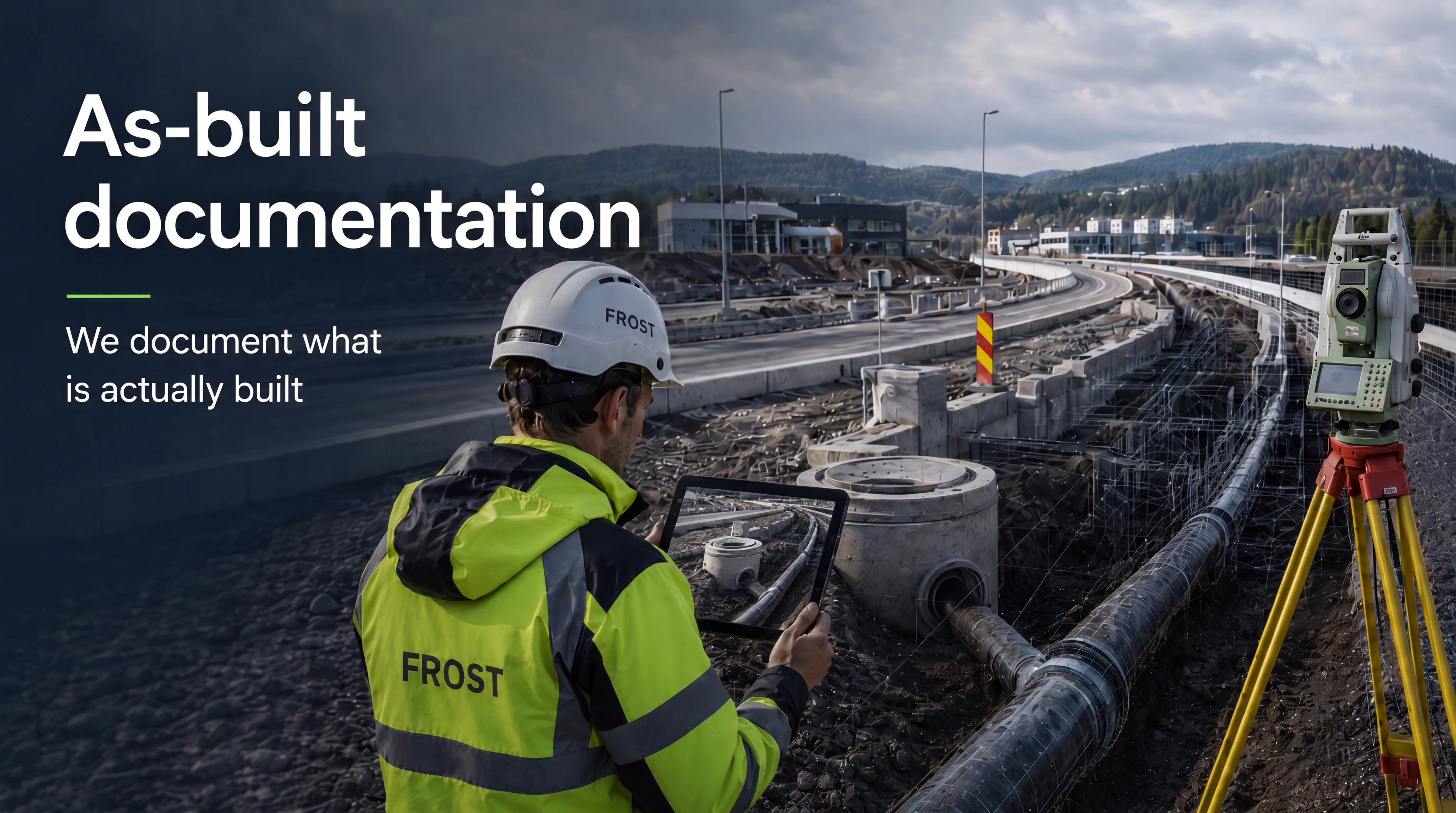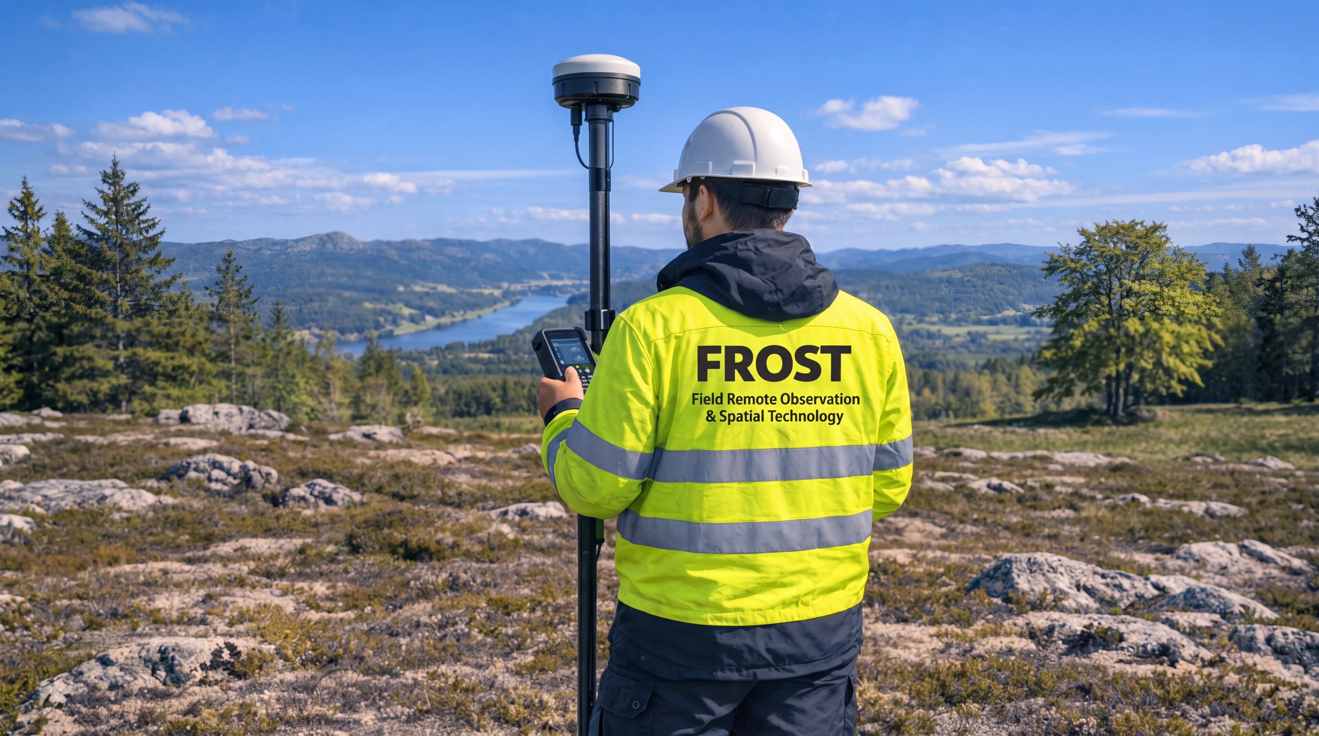
FROST delivers precise land surveying and geospatial documentation using GNSS, total stations, ground control points and drone-based mapping.
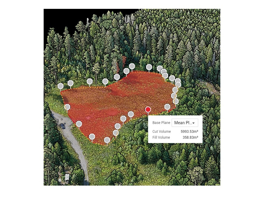
Our services include topographical surveys, setting-out, as-built measurements, terrain documentation, volume calculations and preparation of datasets for GIS, CAD and BIM workflows.
By combining field measurements with aerial data capture, we provide accurate and consistent data for planning, engineering, construction and infrastructure projects.