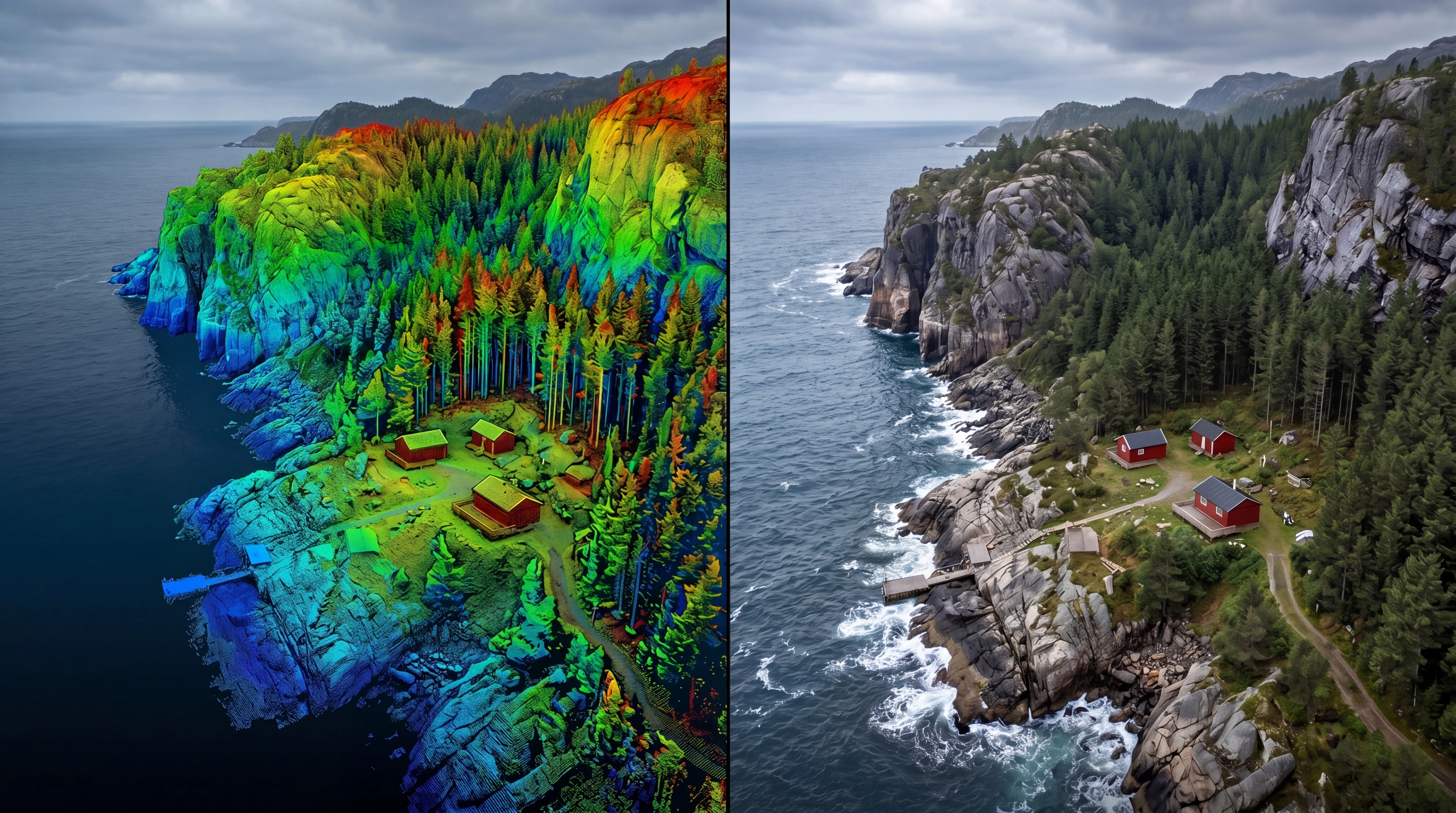
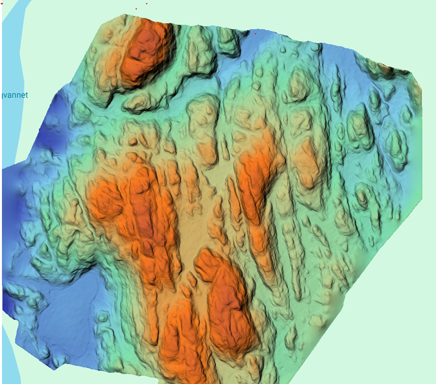
Services

Point clouds

Point Clouds

High-density 3D data capturing reality with precision

Point clouds form the foundation of modern 3D mapping and modelling. Generated from LiDAR and photogrammetry, they provide highly detailed and accurate representations of terrain, structures, infrastructure, and natural environments.

FROST delivers high-quality point cloud datasets tailored for engineering, design, analysis, and documentation workflows.

What is a point cloud?
A point cloud consists of millions of measured points in 3D space.
Each point contains:
  • X, Y, Z coordinates
  • Optional attributes such as colour, intensity, or classification

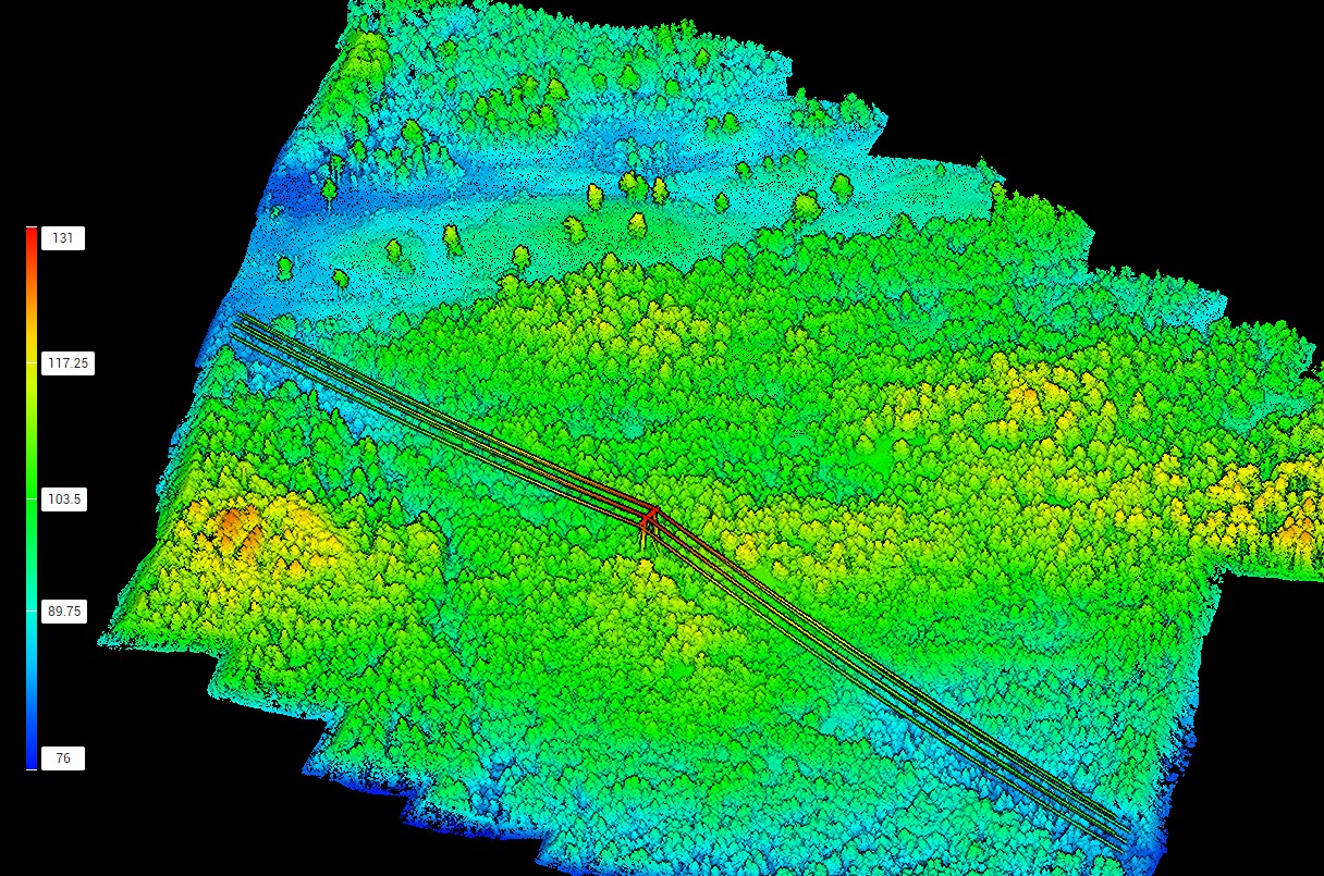
Together, these points create a precise digital representation of the environment, enabling accurate measurements, modelling, and analysis.

Applications
Typical applications include:
  • Base data for GIS, CAD, and BIM workflows
  • 3D modelling and digital twins
  • Infrastructure and construction projects
  • As-built documentation and verification
  • Volume calculations and terrain analysis
  • Asset inspection and documentation
Data acquisition
FROST generates point clouds using:
  • Drone-based LiDAR
  • Terrestrial laser scanning (TLS)
  • Photogrammetry
Data processing
Datasets are processed to ensure:
  • Accurate georeferencing
  • Noise filtering and clean data structure
  • Reliable classification of terrain, vegetation, buildings, and infrastructure
  • Optimized performance for analysis and modelling workflows
Deliverables
We deliver analysis-ready point cloud datasets, including:
  • LAS / LAZ formats
  • Classified and segmented datasets
  • Integrated multi-source point clouds
  • Visualization-ready outputs
  • GIS-, CAD-, and BIM-compatible files
Topographical LiDAR
Bathymetric LiDAR
Powerline inspection

Geospatial solutions powered by software, sensors, and AI technologies

Join us and help capture and transform accurate geospatial data into valuable insights and digital twins.

Join us
Point Clouds

Point clouds

High-density 3D data capturing reality with precision

Point clouds form the foundation of modern 3D mapping and modelling. Generated from LiDAR and photogrammetry, they provide highly detailed and accurate representations of terrain, structures, infrastructure, and natural environments.

FROST delivers high-quality point cloud datasets tailored for engineering, design, analysis, and documentation workflows.