


Field Remote Observation & Spatial Technology
FROST is a Norwegian geospatial company specializing in high-precision mapping, modelling and analysis across land, infrastructure and water environments.
We combine LiDAR, photogrammetry, 3D modelling, ROV systems and environmental sensors to deliver reliable data for planning, construction, environmental documentation and long-term management.
Our goal is simple: to make complex environments easier to understand and document
FROST is founded by Frode Løkken, with over 13 year experiance with construction, land surveying, GIS, drone operations, LiDAR mapping, and underwater inspections.
The company is built on practical public-sector experience from mapping, infrastructure projects, terrain modelling, drone-based data capture, and ROV operations.
Based in Southern Norway, working across land, water, and transition zones.
Contributes with practical field experience and supports data acquisition and project execution — combining technical expertise with hands-on fieldwork.
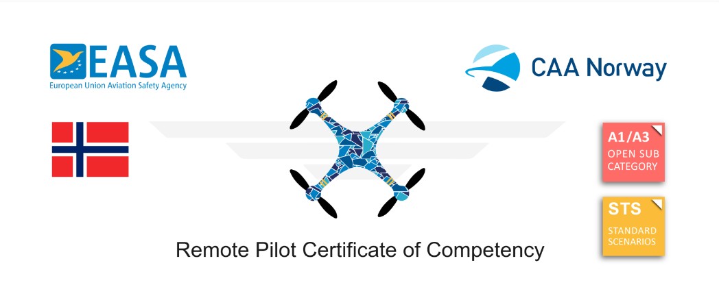
Issued by CAA Norway under the European Union Aviation Safety Agency.
To be a trusted partner for geospatial data — delivering reliable insight for better decisions in infrastructure, environment, and development projects.