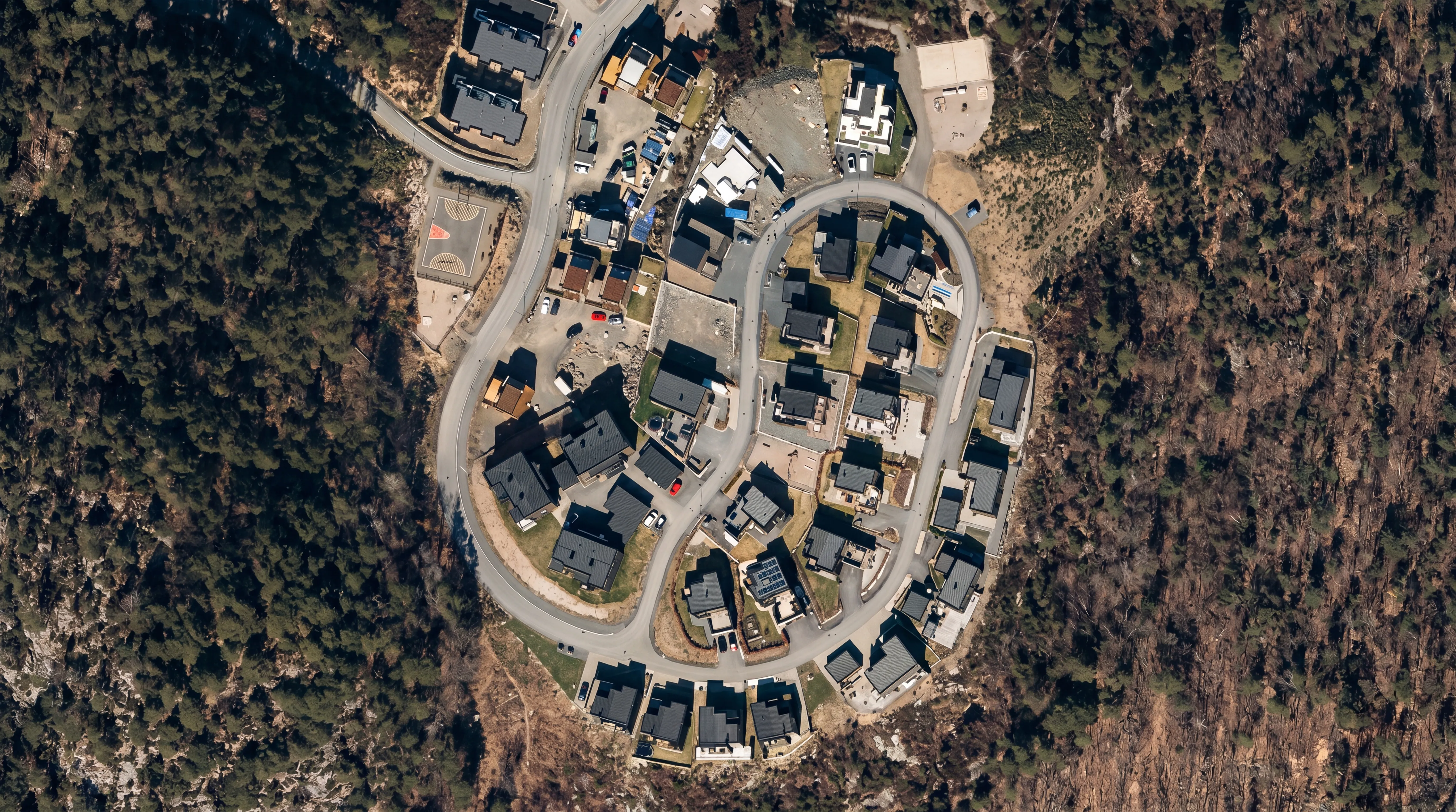
Services

Orthophoto

Orthophoto

Accurate, map-corrected aerial imagery for professional use

An orthophoto is a high-resolution aerial image that has been geometrically corrected so all features are displayed at true scale. This makes orthophotos a reliable map base for accurate measurements, analysis, and planning — combining cartographic precision with photographic detail.

FROST delivers high-quality orthophotos from drone and airborne surveys, processed to professional standards for engineering, infrastructure, and environmental applications.

Why orthophotos?
Unlike standard aerial imagery, orthophotos are corrected for:
  • Camera tilt and perspective
  • Terrain elevation and relief displacement
  • Geometric distortions
This ensures that:
  • Distances and areas can be measured directly in the imagery
  • All objects are accurately positioned geographically
  • Datasets integrate seamlessly with GIS, CAD, and BIM workflows
Applications
Typical applications include:
  • Urban and land-use planning
  • Infrastructure and construction projects
  • Documentation before, during, and after construction
  • Environmental monitoring and land management
  • Property mapping and terrain analysis
  • Base maps for municipalities and engineering consultants
Data quality and accuracy
FROST uses professional drone platforms, high-quality sensors, and precise GNSS/RTK positioning combined with ground control points where required.
Each project is adapted to:
  • Required accuracy
  • Area size and complexity
  • Intended workflow and use case

This ensures consistent image quality, accurate geometry, and reliable spatial datasets.

Deliverables
We provide map-ready orthophoto datasets, including:
  • JPEG and GeoTIFF formats
  • Project-specific map extracts
  • GIS- and CAD-ready datasets
  • High-resolution orthomosaics
  • Web-ready visualization outputs
Need accurate aerial imagery for your project?

Get in touch to discuss your project — we’ll help define the right orthophoto workflow based on your accuracy requirements, environment, and intended use.

Topographical LiDAR
Bathymetric LiDAR
Powerline inspection

Geospatial solutions powered by software, sensors, and AI technologies

Join us and help capture and transform accurate geospatial data into valuable insights and digital twins.

Join us
Orthophoto

Orthophoto

Accurate, map-corrected aerial imagery for professional use

An orthophoto is a high-resolution aerial image that has been geometrically corrected so all features are displayed at true scale. This makes orthophotos a reliable map base for accurate measurements, analysis, and planning — combining cartographic precision with photographic detail.

FROST delivers high-quality orthophotos from drone and airborne surveys, processed to professional standards for engineering, infrastructure, and environmental applications.