


Geospatial intelligence for the cold north — from field surveys and aerial capture to digital twins, AI processing, and the decisions they enable.

High-precision data capture using drone-based sensors — delivering reliable datasets for planning, analysis, and documentation across land and water environments.
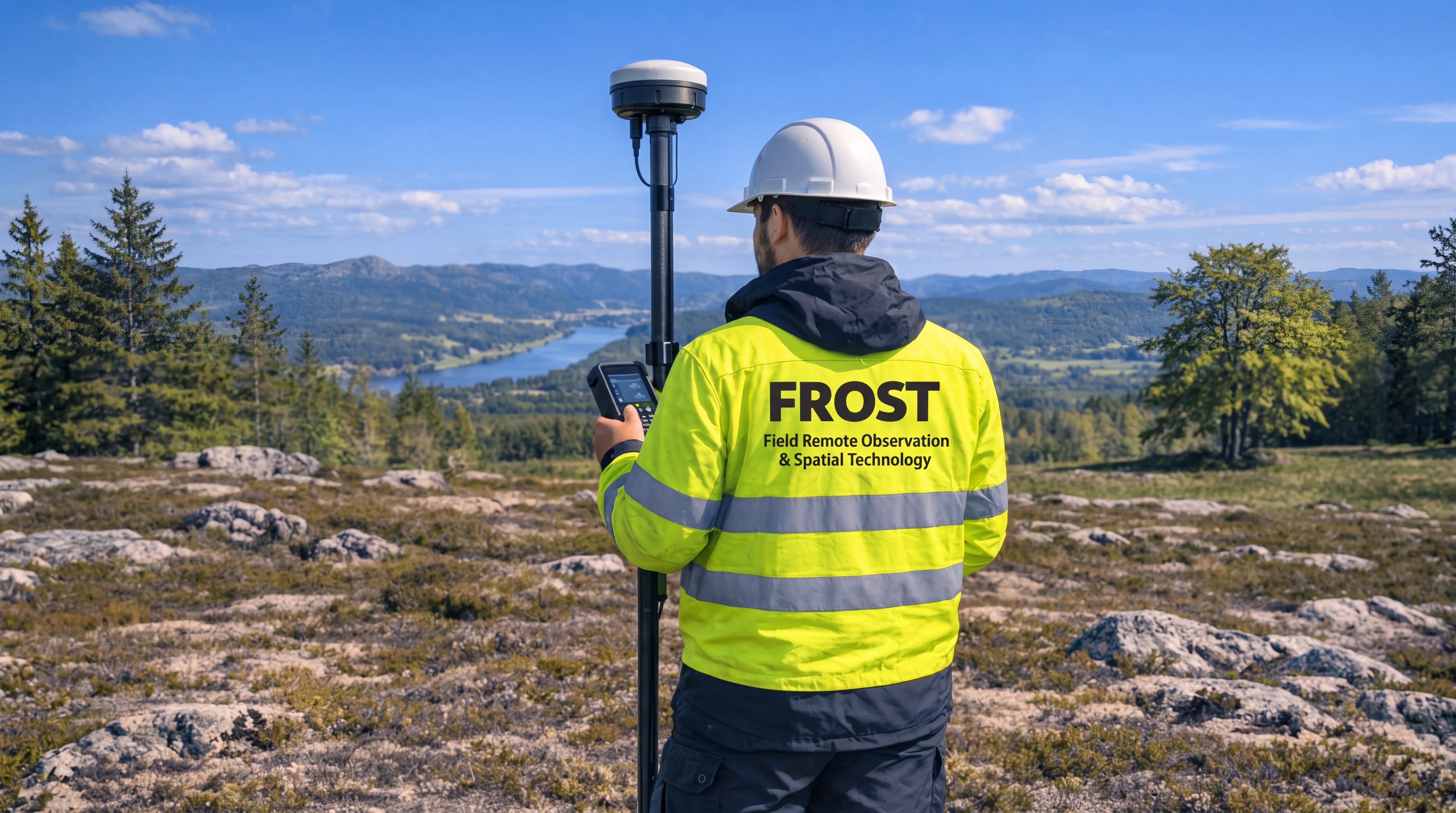
Accurate surveying and geospatial data for planning, engineering, construction, and infrastructure projects.
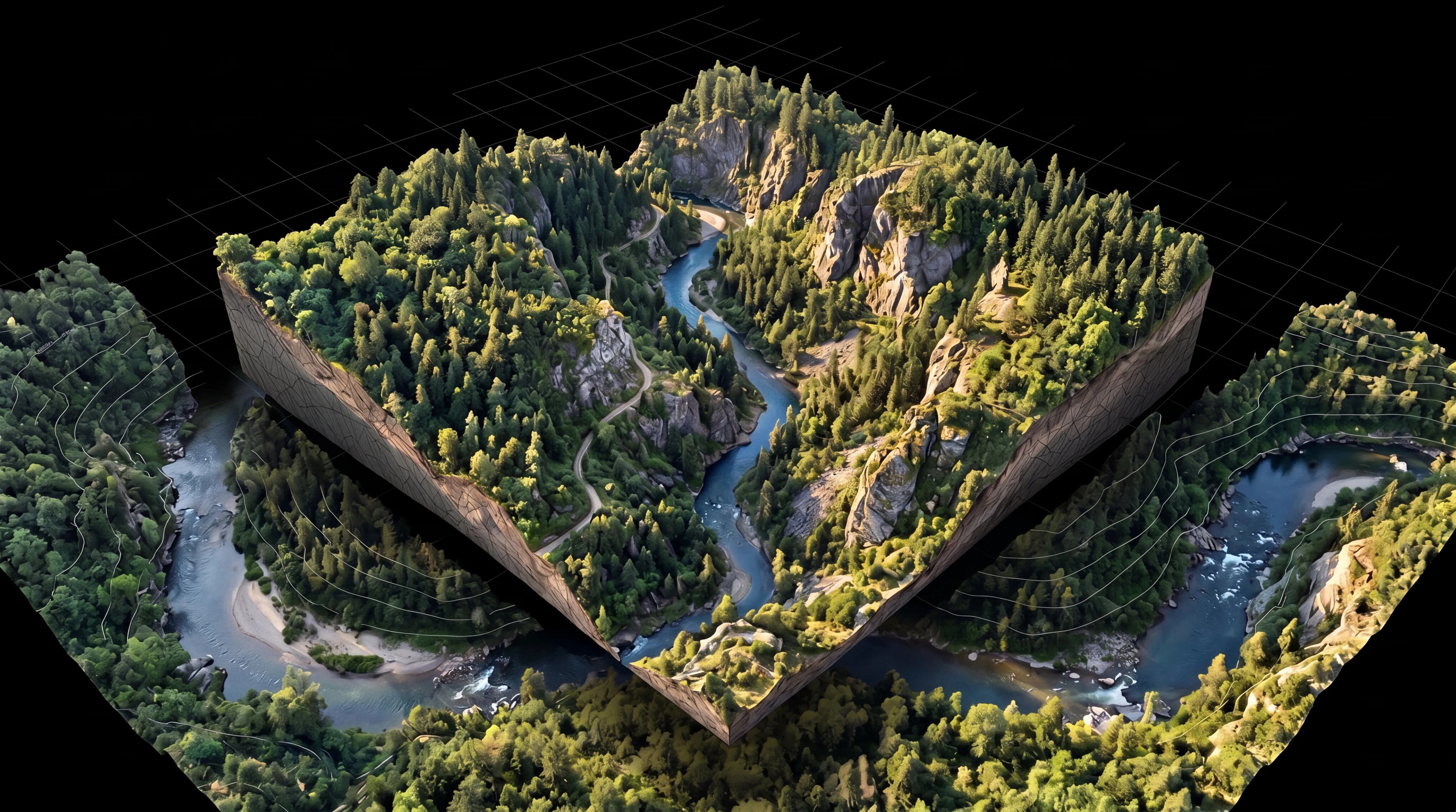
Accurate digital representations for analysis, planning, engineering, and decision-making.
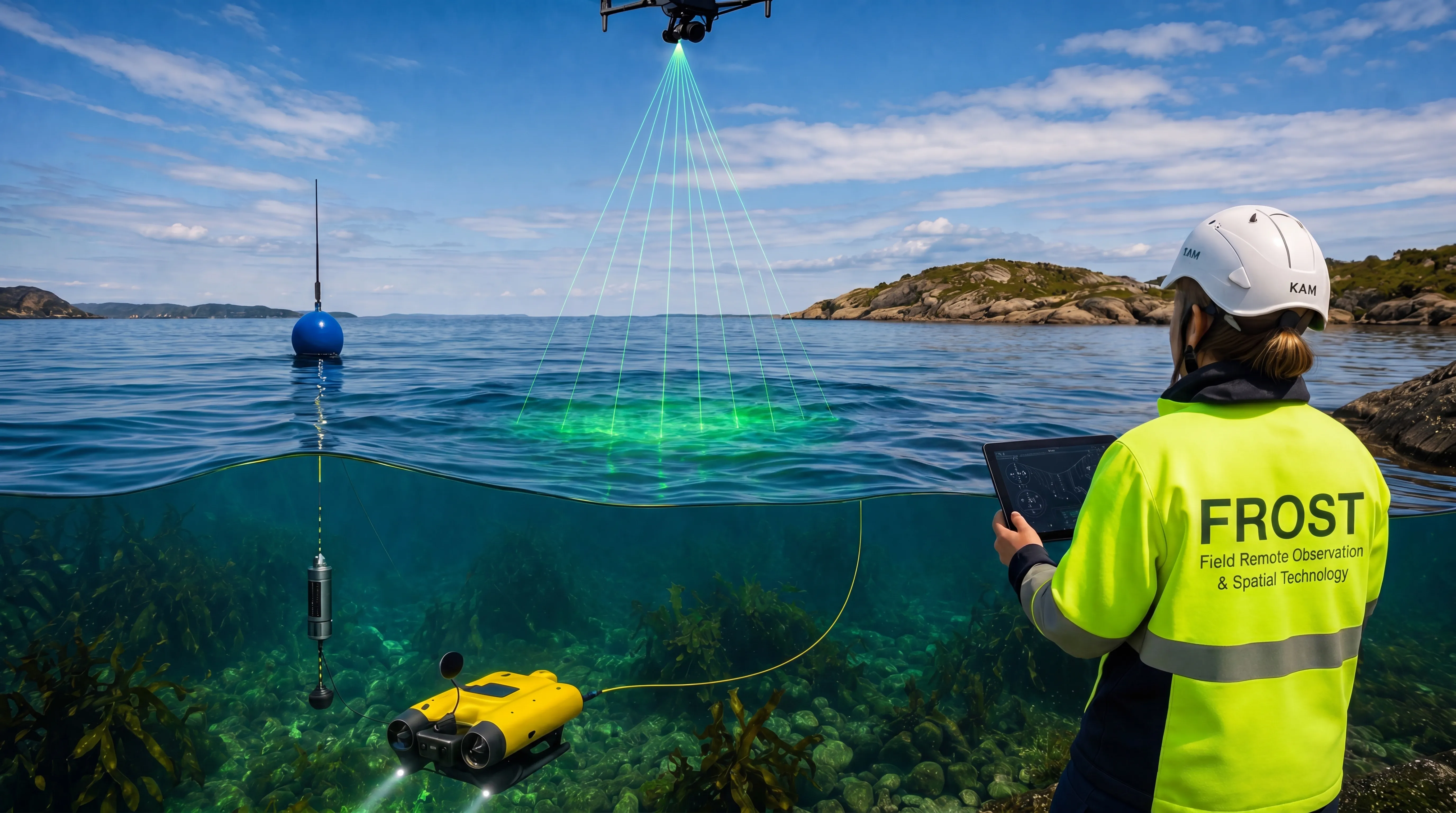
Reliable environmental and aquatic mapping data for planning, monitoring, and long-term management.