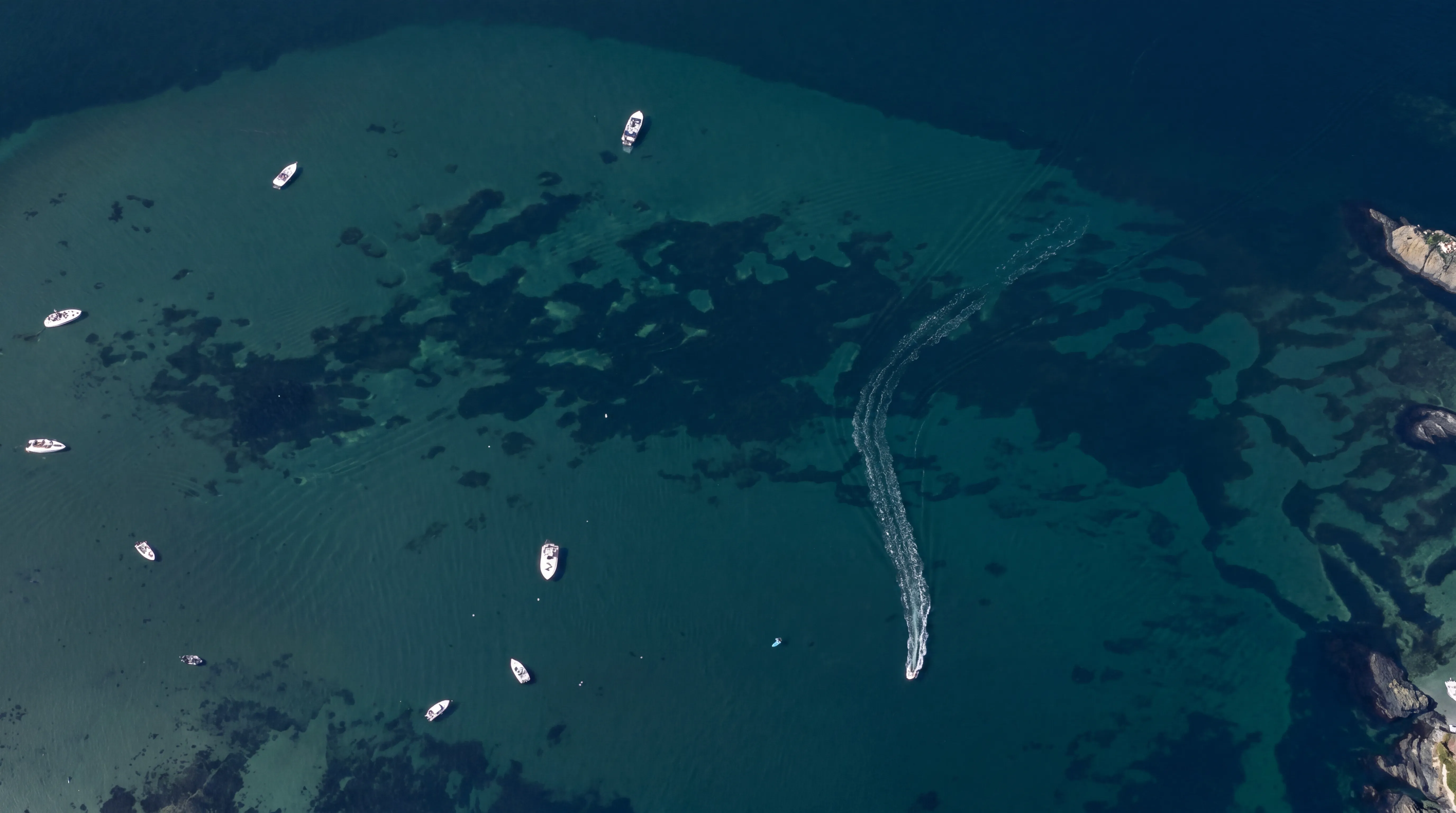
Shallow water mapping


This creates a continuous elevation model across land and shallow water, providing a reliable basis for analysis, planning, documentation and monitoring.
All datasets are accurately georeferenced using GNSS/IMU positioning, enabling integration with GIS, CAD, BIM and monitoring workflows.
Repeat surveys can also be used for change detection and long-term environmental monitoring.
FROST helps document shallow water environments, shorelines, rivers, lakes and coastal zones with accurate geospatial datasets.
Join us and help capture and transform accurate geospatial data into valuable insights and digital twins.
Join us