Thermography
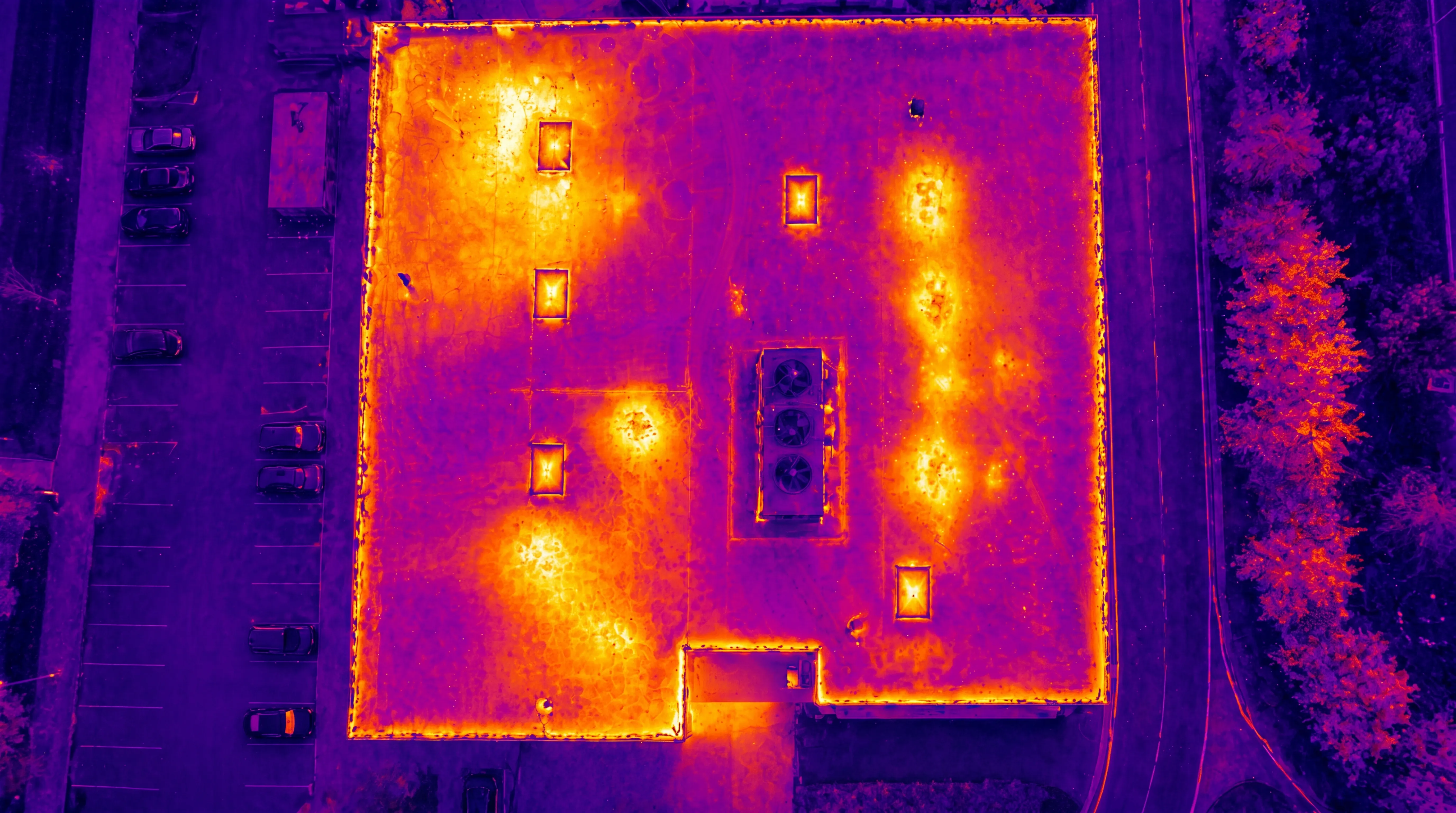


Using drones, thermographic surveys can be performed safely and efficiently across large, elevated, or hard-to-access environments.
Thermal datasets can also be combined with RGB imagery and orthophotos to provide clear geographic context and improve interpretation.
Get in touch to discuss your project — we’ll help define the right thermography workflow based on your environment, inspection requirements, and analysis goals.
Join us and help capture and transform accurate geospatial data into valuable insights and digital twins.
Join us