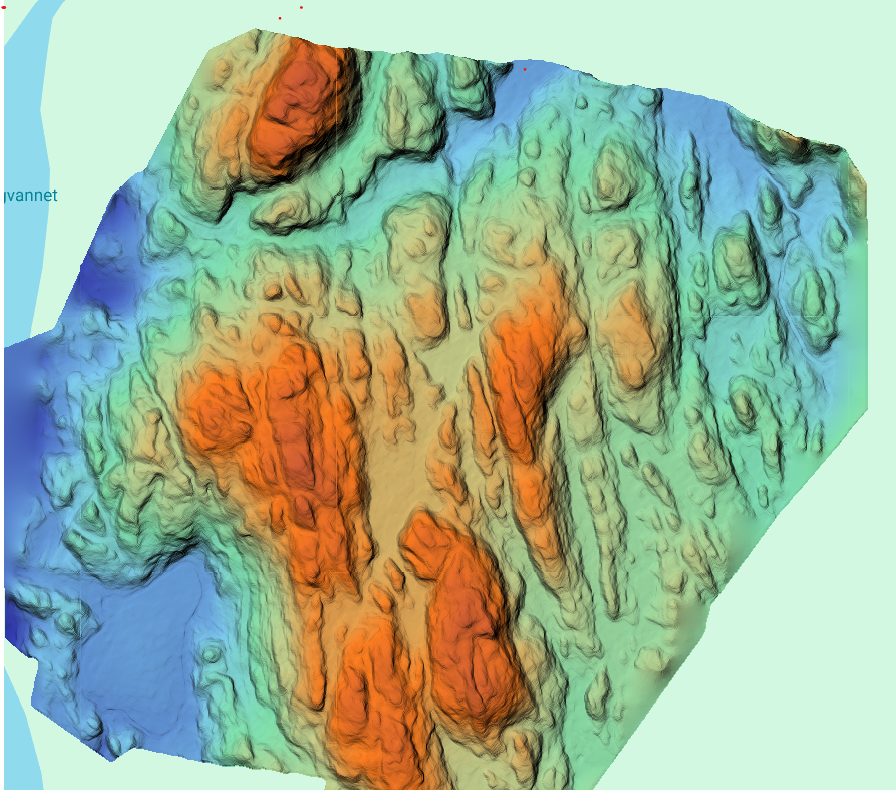
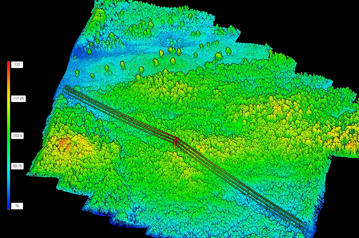
Digital twin and 3D models
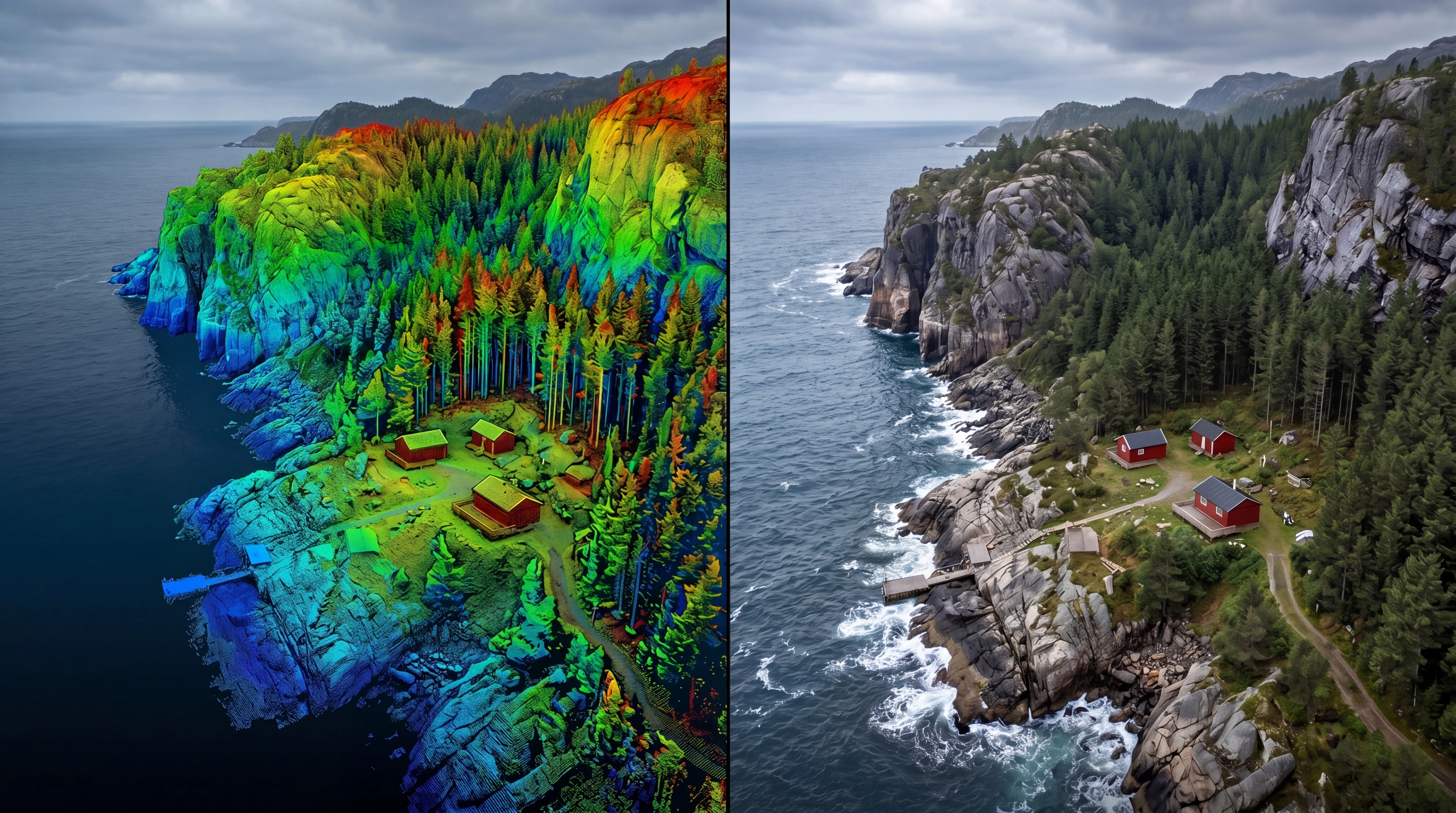


This results in reliable geometry and up-to-date digital representations suitable for analysis, documentation, and visualization.
Join us and help capture and transform accurate geospatial data into valuable insights and digital twins.
Join us